A new project led by the National Oceanography Centre (NOC) will unlock new capability of an innovative satellite mapping technique to enable better large-scale management of intertidal zones.
The European Space Agency funded EO for a Resilient Society: Intertidal Topography Mapping in the temporal domain (SAR-TWL) project, led by Christine Sams, Dr Paul Bell and Clive Neil, is developing an Earth Observation (EO) driven technique which uses satellite technology to monitor intertidal zones (the wetting/drying areas between land and sea).
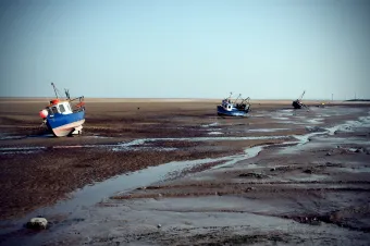
Intertidal zones provide vital ecosystem services and form critical habitats for a wide range of species including shore birds. They are under significant pressure from multiple sources including coastal development and changes in sea level. High-quality mapping of these areas is critical to monitor how they are changing and provide evidence of their status to coastal managers and other coastal stakeholders.
EO for intertidal mapping is not a new concept, a number of alternative approaches have been developed and are being used in the UK and internationally. The technique developed by NOC uniquely operates on a ‘per pixel’ method producing intertidal elevation information at the resolution of a satellite image (about 6.4m), building on nearly two decades of research into using Marine Radar for environmental monitoring.
Following two years of development and demonstration carried out in partnership with the Channel Coastal Observatory, the Environment Agency, Wales Coastal Monitoring Centre and local authority programmes, SAR-TWL will enable further development of the methods and the accompanying processing software. This will provide a new tool for long-term mapping of intertidal zones on regional and national scales, leading to better management of these unique habitats.
Watch: Intertidal Mapping
Intertidal elevations for Morecambe Bay, from January 2017 to August 2022. At 310km2, Morecambe Bay is the largest intertidal area in the UK. The satellite observations were processed using a NOC developed algorithm as part of the SAR-TWL project.